

Geography, Changes, and Key Features
The United States map is a dynamic representation of one of the world’s most diverse and expansive nations. As of June 2025, several updates—from geopolitical shifts to cartographic innovations—have reshaped how we view America’s geography. This comprehensive guide explores the United States map in detail, covering its physical and political features, recent changes, and unique characteristics that define the country.
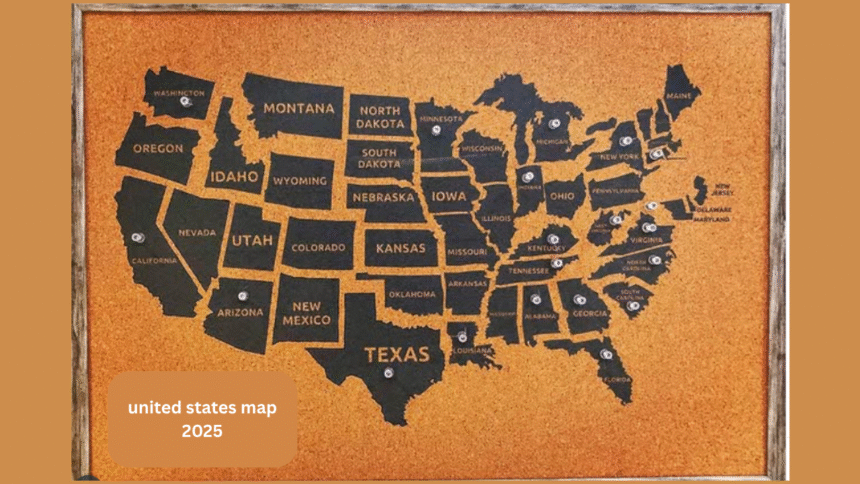
The Ultimate Guide to the United States Map in 2025
The Physical Geography of the United States
The United States map reveals a land of staggering geographic diversity, from the Atlantic Coastal Plain to the towering Rocky Mountains. The country spans approximately 9.8 million square kilometers, making it the third or fourth largest nation by total area, depending on water measurements . Key regions include:
- The Atlantic Coastal Plain: Stretching from New England to Florida, this low-lying area features swamps, estuaries, and major cities like New York and Miami.
- The Appalachian Mountains: One of the oldest mountain ranges in North America, extending from Quebec to Alabama and rich in history and natural resources .
- The Great Plains: A vast agricultural heartland that transitions into the rugged Rocky Mountains, home to peaks like Mount Elbert .
- The Pacific Coast: Defined by active volcanoes, fertile valleys, and tech hubs like Silicon Valley.
The United States map also highlights unique landmarks such as Death Valley (-282 feet) and Denali (20,310 feet), the highest peak in North America 4. These features underscore the country’s dramatic elevation changes and ecological variety.
Political Boundaries and Recent Updates
Politically, the United States map is divided into 50 states, a federal district (Washington, D.C.), and 14 territories, including Puerto Rico and Guam . A notable 2025 update is the renaming of the Gulf of Mexico to the “Gulf of America” by executive order, though this remains controversial and pending full federal approval .
State borders follow natural features like the Ohio River or survey lines, creating the iconic patchwork seen on the United States map. Major cities such as New York, Los Angeles, and Chicago anchor the nation’s economic and cultural landscape, with populations exceeding 8 million in metro areas . The capital, Washington, D.C., lies along the Potomac River and serves as the political core of the federal republic .
Transportation and Infrastructure
The 2025 United States map showcases an intricate transportation network, including:
- Interstate Highways: Over 48,000 miles of roads connecting major cities, with I-90 (Boston to Seattle) being the longest .
- Rail Systems: Amtrak routes and Class 1 freight lines crisscross the country, vital for commerce and travel.
- Ports and Airports: Coastal hubs like Los Angeles and New York handle global trade, while airports such as Hartsfield-Jackson Atlanta International see over 1 million annual enplanements .
Recent infrastructure investments aim to reduce delays caused by weather or system failures, ensuring smoother logistics nationwide . This network is a lifeline for the U.S. economy, which boasts a GDP of $21.37 trillion .
Cultural and Demographic Insights
The United States map reflects a melting pot of cultures, shaped by centuries of immigration. Over 331 million people inhabit the country, with densities varying from crowded urban centers to sparse rural areas like Wyoming . Key demographic trends include:
- Urbanization: 82.3% of Americans live in cities, with coastal regions like California and the Northeast being most populous .
- Diversity: Ethnic enclaves, from Chinatowns to Hispanic communities in the Southwest, highlight the nation’s multicultural fabric .
The United States map also reveals socioeconomic divides, with wealth concentrated in tech hubs and agricultural regions facing economic challenges.
Environmental and Conservation Areas
Protected lands are a prominent feature of the United States map, with over 400 national parks and reserves managed by the National Park Service . Iconic sites include:
- Yellowstone: The first national park, spanning Wyoming, Montana, and Idaho.
- The Grand Canyon: Carved by the Colorado River, a UNESCO World Heritage Site.
- Everglades: A biodiverse wetland in Florida.
Climate change impacts, such as rising sea levels, threaten coastal areas, prompting conservation efforts and policy debates .
Cartographic Innovations
Modern United States maps blend artistry and precision. David Imus’ award-winning “Essential Geography” map, crafted over 6,000 hours, exemplifies this with:
- Hand-placed labels: Avoiding algorithmic clutter for clarity.
- Relief shading: Depicting terrain naturally without garish state colors .
Such maps offer a holistic view of America’s geography, contrasting with digital tools like Google Maps that prioritize function over form .
Conclusion
The United States map is more than borders and cities—it’s a living document of history, culture, and innovation. From the Gulf of America’s contested rename to Denali’s towering presence, each detail tells a story. Whether used for education, travel, or policy, understanding this dynamic landscape is key to grasping America’s identity in 2025 and beyond.
For further exploration, refer to sources like Britannica’s geographic breakdown 1 or the Bureau of Transportation Statistics’ infrastructure maps . The United States map will continue evolving, reflecting the nation’s endless complexity and spirit.


I will right away clutch your rss feed as I can not find your e-mail subscription hyperlink or newsletter service. Do you’ve any? Kindly permit me know in order that I may subscribe. Thanks.
I was very pleased to uncover this site. I need to to thank you for your time just for this fantastic read!!
I definitely liked every bit of it and I have you
saved as a favorite to check out new things on your website.
Reserve your Limousine in Dubai alternative so you can relax and enjoy your time in the city.